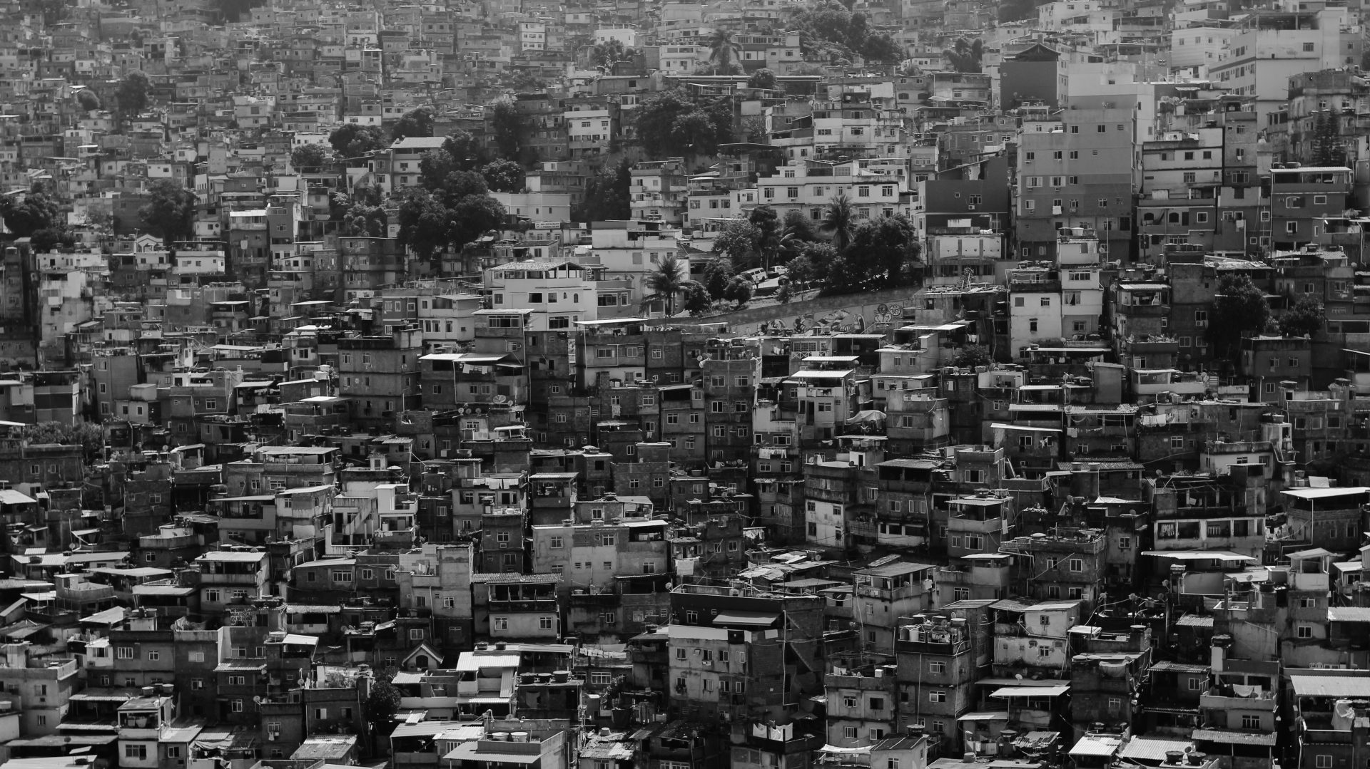
Kibera in Nairobi, Kenya, was a blank spot on the map. But in November 2009, young Kiberans created the first free and open digital map of their own community. Map Kibera has now grown into a complete interactive community information project.
“Another interesting example that shows how data can be quickly gathered and used involves the mapping of a huge slum area in Kenya, called Kibera. The government had no idea how big this particular slum was, what it looked like, or where all the roads or housing was. But it was thought to house anywhere between 200,000 and a million people. Simply by using people in the community, they were able to map what the slums looked like for the first time.
The Map Kibera project trained residents to create their own map, using tools such as OpenStreetMap with partnerships with local organizations.” – From the article “How the World Bank is using technology and open development to help eradicate poverty”, The Next Web
– For more information about this project, visit the site Map Kiberia
– Are you interested in this topic, read more about how the World Bank is using technology and open development to help eradicate poverty.